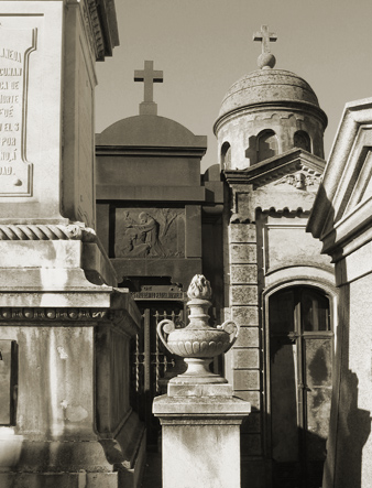
Documenting Recoleta Cemetery in Buenos Aires since 2007
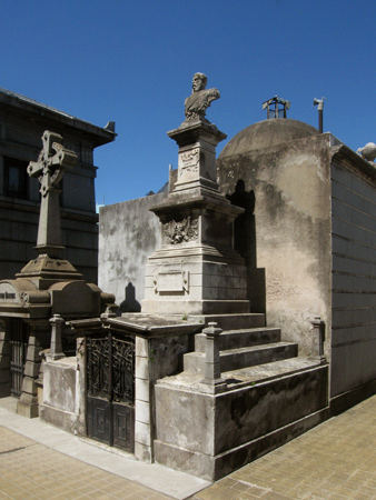
An important naval officer during the formative years of Argentine history, Luis Py was born in Barcelona in 1819. He joined the Argentine Navy at the age of 24 & served under Admiral Guillermo Brown while defending Montevideo from the British-French blockade. During the difficult times of the Confederación Argentina (basically BsAs vs. the rest of the nation in the 1850s), Py earned the rank of Captain for his defense of Buenos Aires.
The most difficult moment for Py was during the 1860s war with Paraguay when the vessel he commanded was heavily damaged & his son—also enlisted in the Navy & on board—was killed. Py continued to rise in the ranks & was sent by President Sarmiento to defend Argentina’s claim to Patagonia.
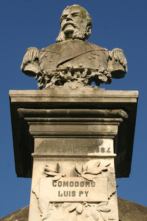
At the same time Roca began the Desert Conquest campaign, Py took a small fleet to Santa Cruz discovering an easily overtaken Chilean outpost. Remaining there for several months, Py’s presence effectively warned Chile to stay away. Returning to Buenos Aires, he was promoted to Commodore at the age of 60 & passed away 5 years later in 1884. Py should have received a special mention for his handlebar moustache:
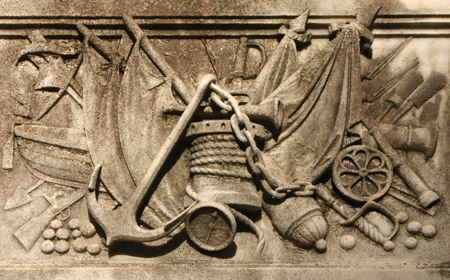
The large number of naval symbols leaves no doubt as to his calling in life:
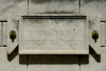
And an eye-level plaque reminds us that this vault was sponsored by friends & fellow naval personnel:
By mid-2004 it seemed practical to convert my website about Argentina into a blog. Spending a lot of time in Europe for work didn’t help me develop projects about Buenos Aires, but I thought Recoleta Cemetery was too important & too interesting to leave neglected.
The biggest hurdle was having to learn to use yet another program. After teaching myself HTML, Javascript, Flash, Photoshop, & CSS, the last thing I wanted to do was learn how to use Adobe Illustrator. But it had to be done. I took a photo of the Nov 2003 map at the entrance gate, imported it to Illustrator & began to trace the general layout of the cemetery… a good way to learn to use the program.
Once the rough master copy was complete, I began going to the cemetery almost daily to compare & correct. It was much more work than I expected. As I counted the number of actual vaults vs. those on the map, the difference was enormous. What to do? The easiest approach seemed to be to divide the cemetery into sectors & walk every aisle, counting the number of vaults as I went. Each day I’d input changes so I wouldn’t forget what I’d seen. It made for some interesting posts on my blog, & mapping took several months to finish.
Some of the stages are below with the original traced map in orange & the corrected version in blue:

Read the complete story in the following posts titled “map development”: Part 1, Part 2, Part 4, Part 5, Part 6 & Part 7. Good news! The PDF guidebook is now available.
1 Comment